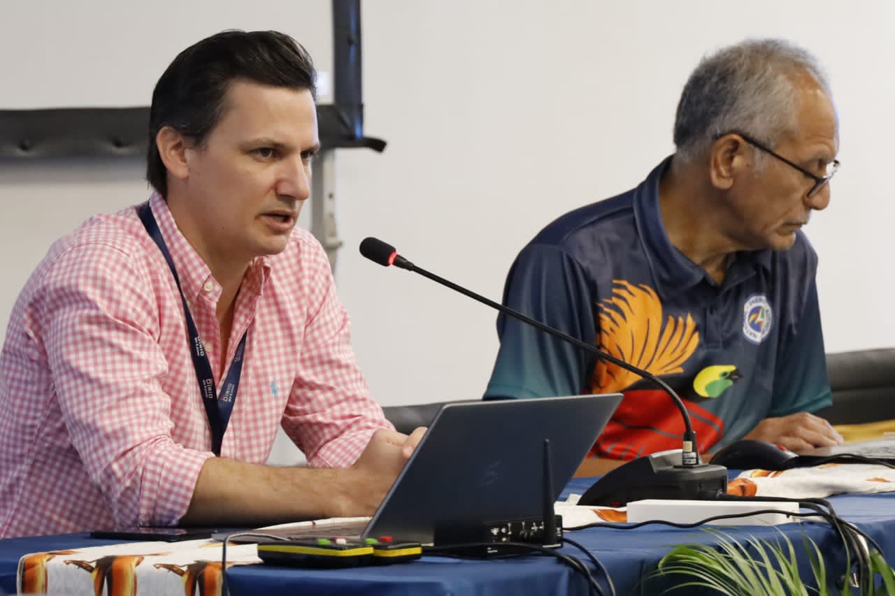
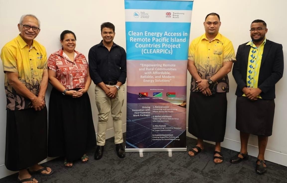
Wind Resource Maps of the Far East Islands
This report was prepared by AWS Truewind for the World Bank. Using its WindSurvey system, AWS has produced maps of the predicted long term annual wind speed at heights of 12, 25 and 45 meters above ground and with a grid spacing of 1000m for the Far East Islands (PNG, Solomon Islands, Vanuatu and Fiji). The wind maps indicate that the low lying areas in southwestern Papua New Guinea has the best wind resource in that country. These speeds can be partially attributed to low surface roughness values and their perpendicular orientation to the prevailing southeasterly winds. A high resolution WindSurvey configuration was used to produce the wind resource maps.
Publication Category:
Publication Thematic Areas:
Number of Pages:
9
Year Published:
2009
Countries covered:


GN-SEC learning plattform

Open Procurements
Job Opportunities
Images Galleries


Pages
PCREEE newsletter
Stay informed on our latest news!