Cook Islands Renewable Electricity Chart
Introduction
This document is called the Cook Islands Renewable Electricity “Chart”. Other countries have called similar documents a “Road map” – and these are countries that are either landlocked or have many kilometres of road between settlements. Our environment is different. We have many kilometres of sea between islands. Traditionally, our forefathers navigated their passage from one island to another using the stars, wind direction, clouds, birds and other natural resources. Today, we use paper to plot our path; a Chart. This Chart will plot our planned journey from one island to another as we transform our electricity source island by island.
We anticipate that the journey will take us 10 years. This requires a change in direction; and a new way of doing things. This new course will affect the lives of our people in this and succeeding generations. Every care will be taken at each stage to tailor our services so that they meet each island’s unique needs. This new course stops us from mistreating our environment with continuous carbon emissions.
Our journey is a radical one requiring a change in thinking and behaviour and it is articulated in the chart through policy goals. The goals are supported by Governing principles that ensure clarity in translation from policy to implementation.
The goals will transform the electricity sector from one dependent on imported petroleum to an independent, vibrant sector dominated by the efficient use of renewable energy.
This Chart articulates our general direction. Details of how we will achieve our goal are outlined in an accompanying Implementation Plan.


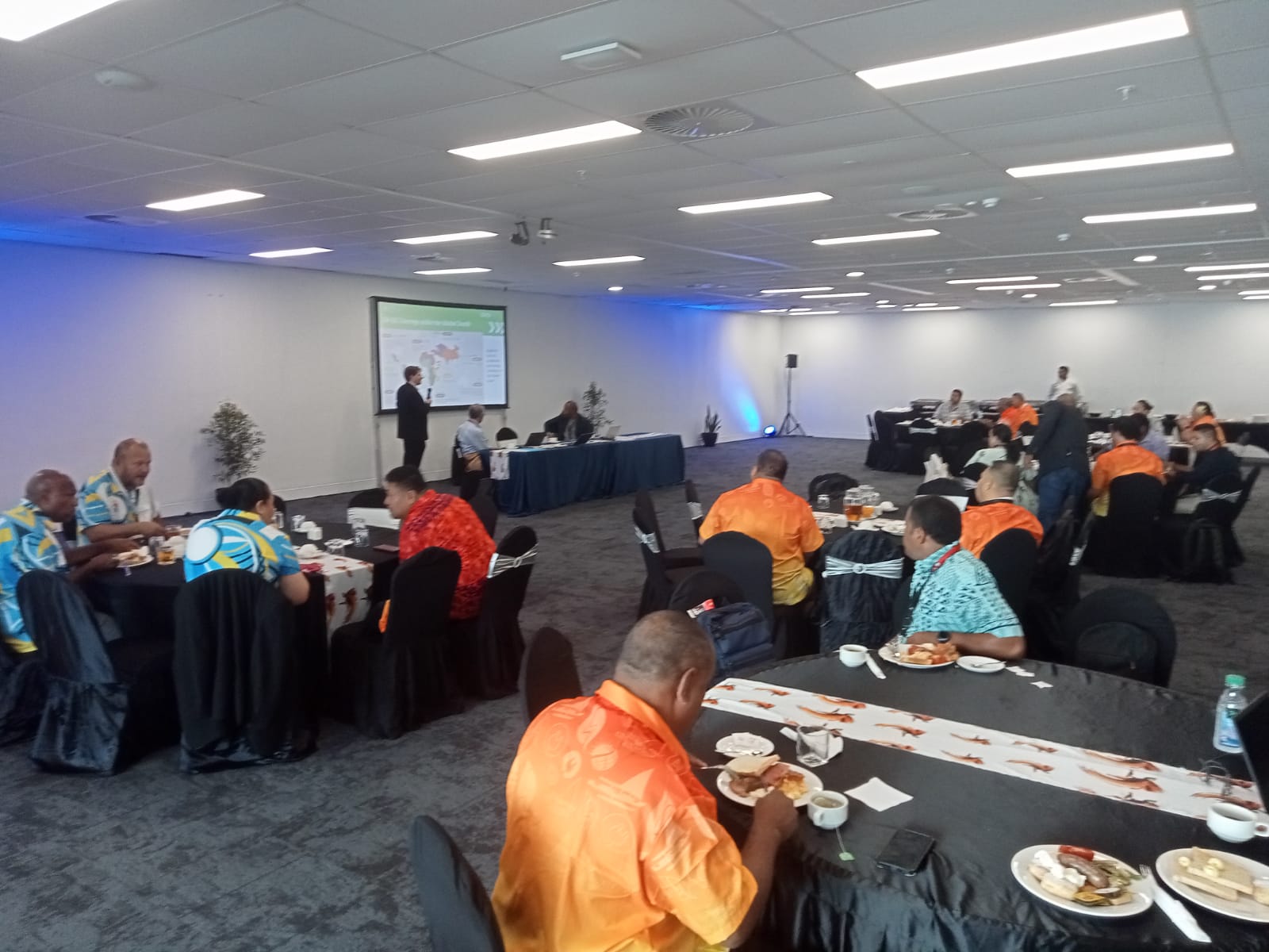
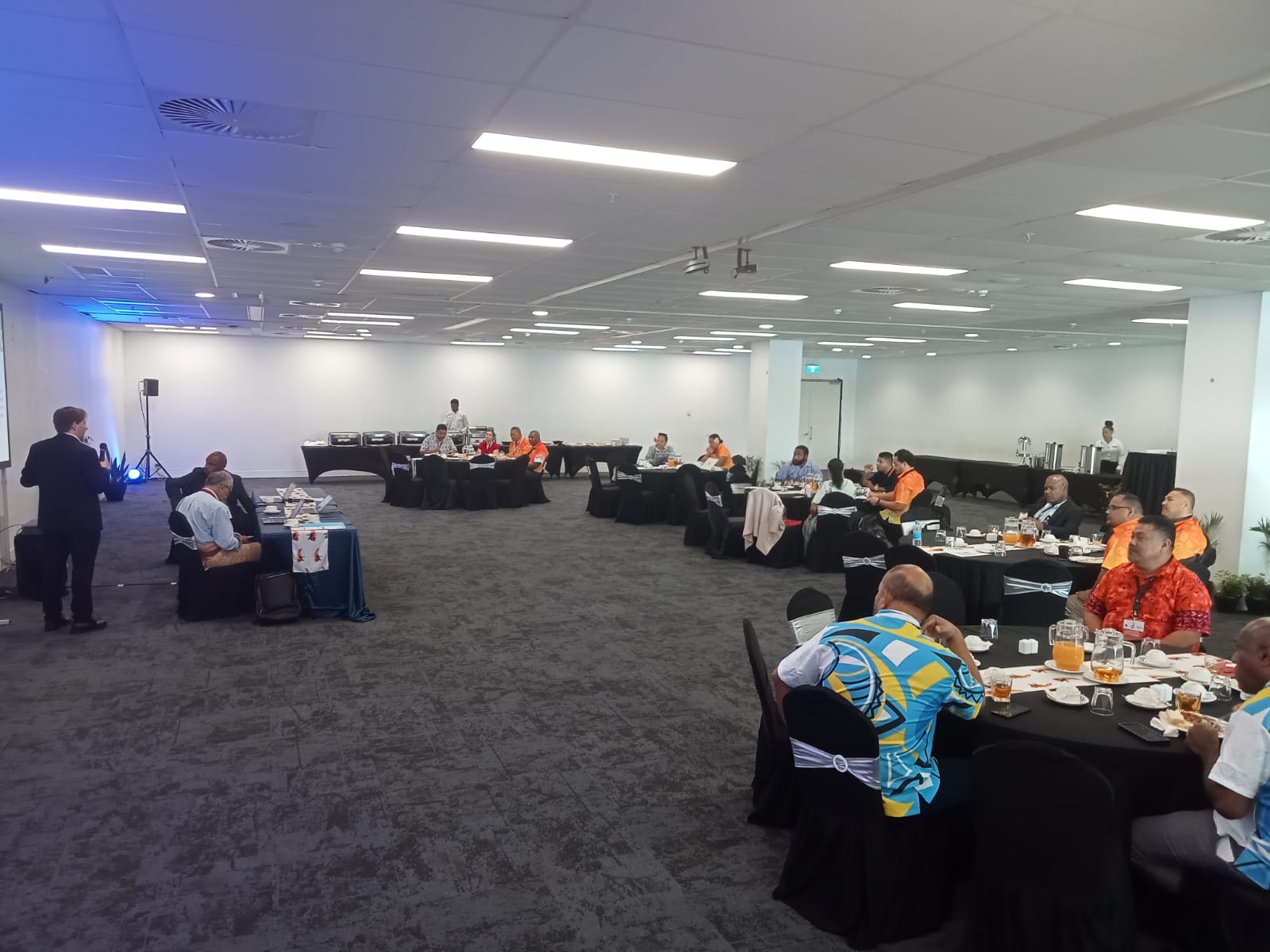
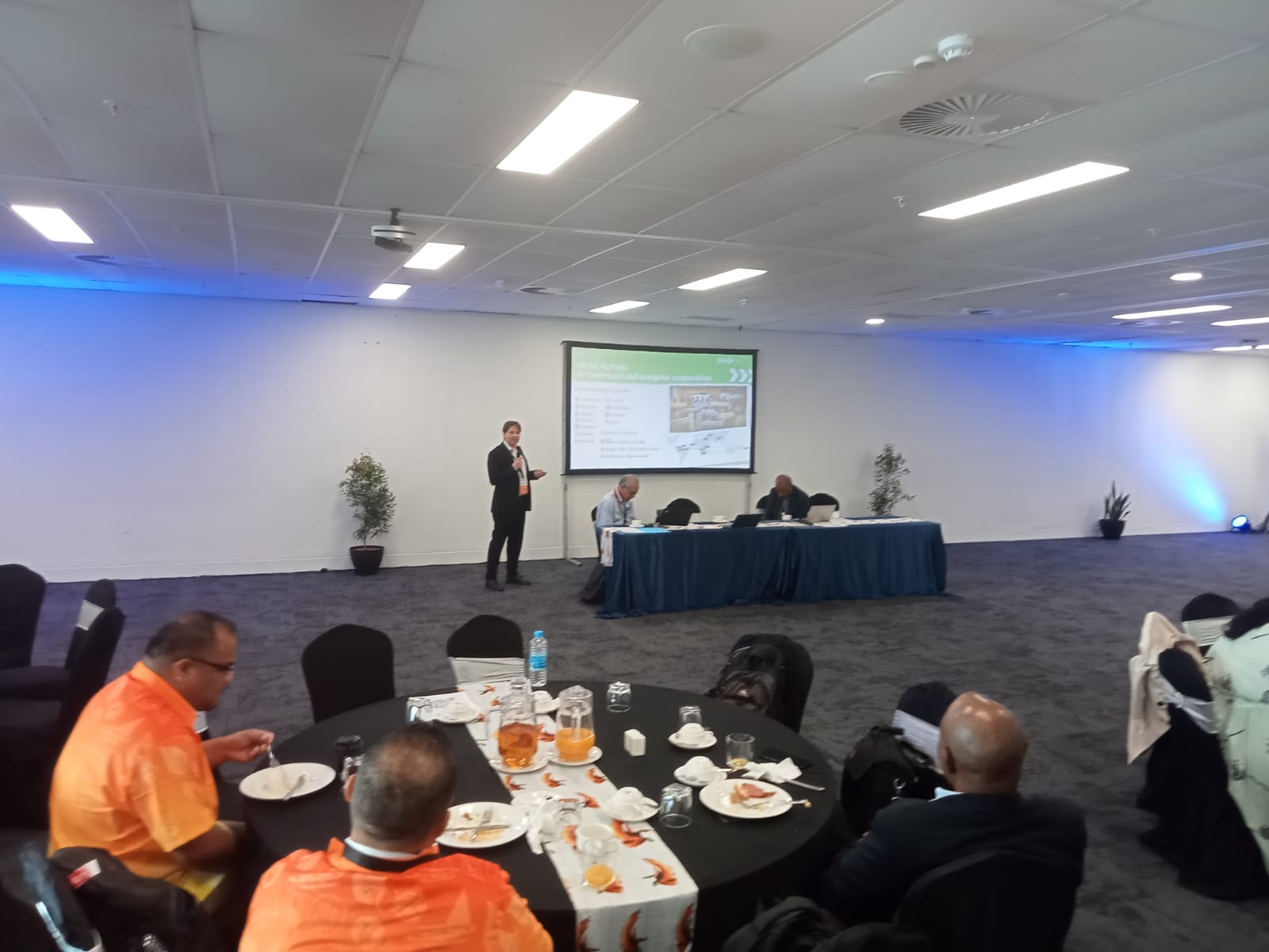
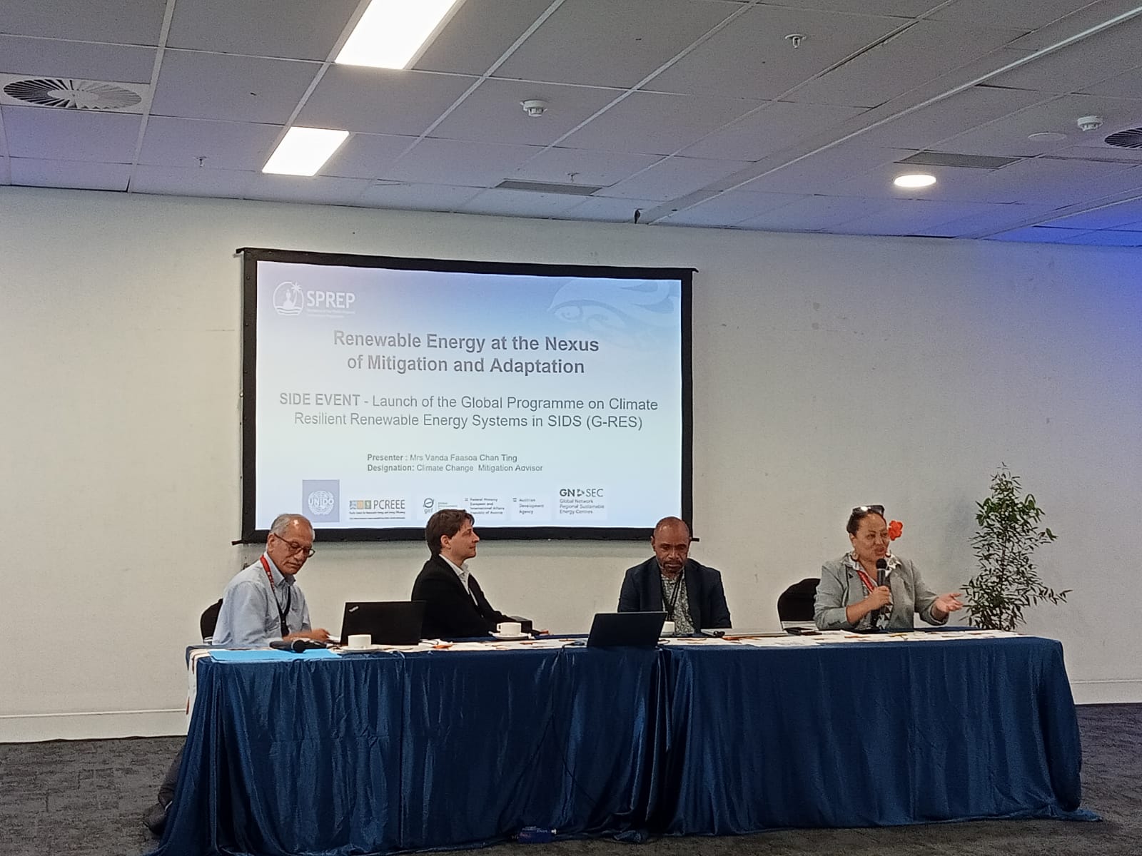
GN-SEC learning plattform
Open Procurements
Job Opportunities
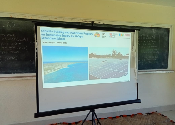
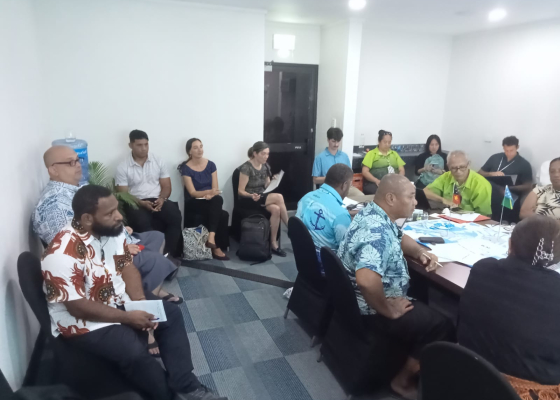
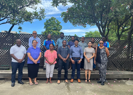
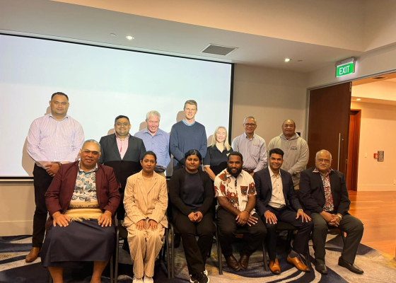
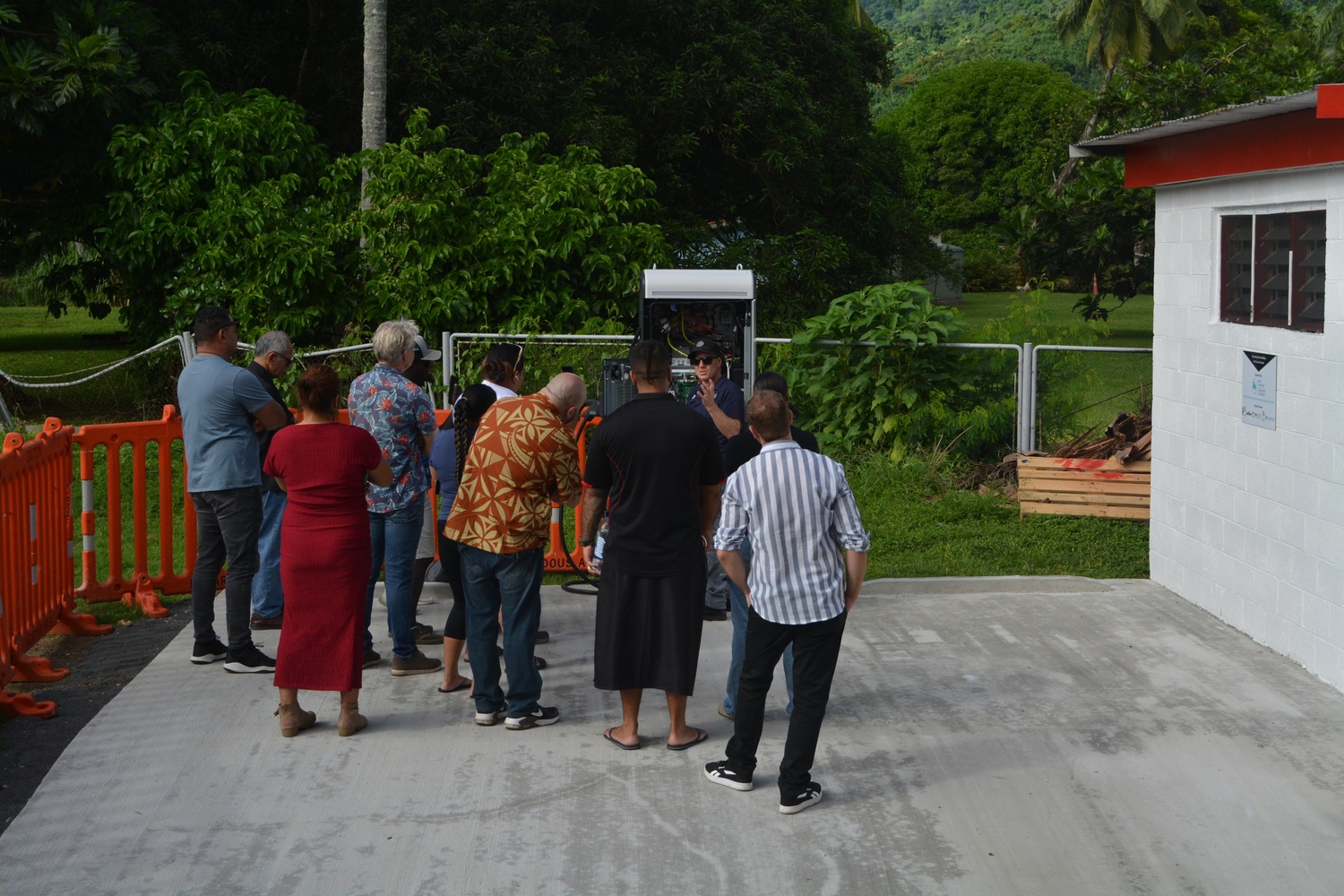
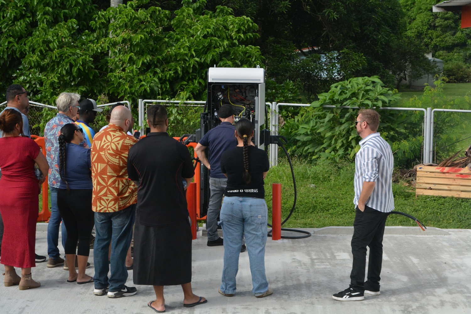
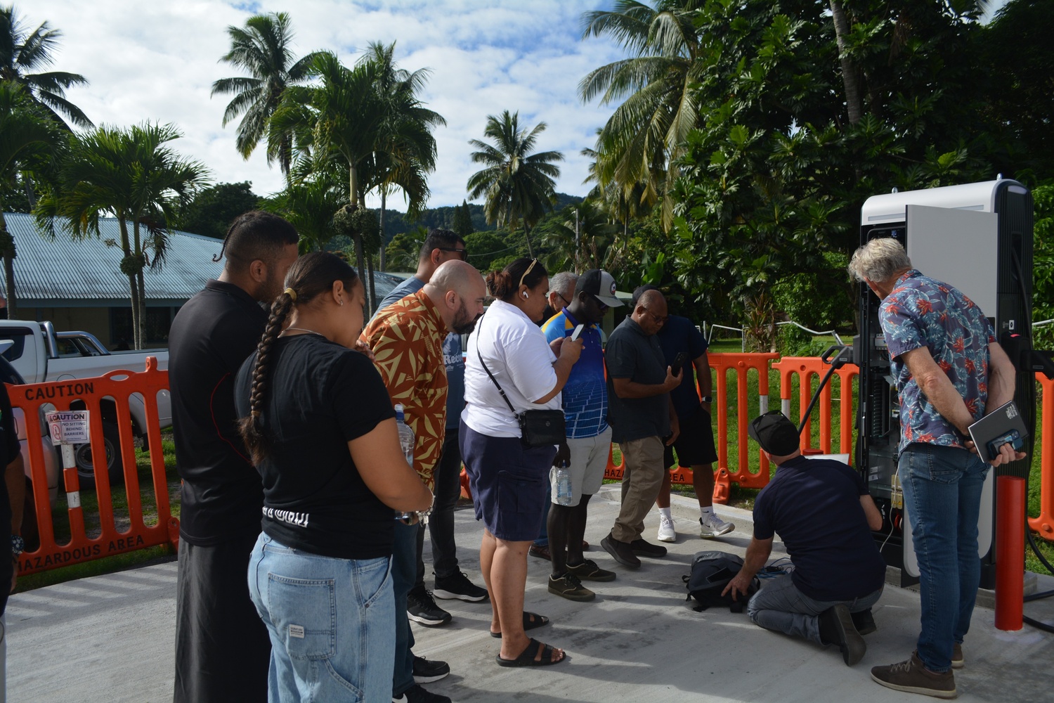
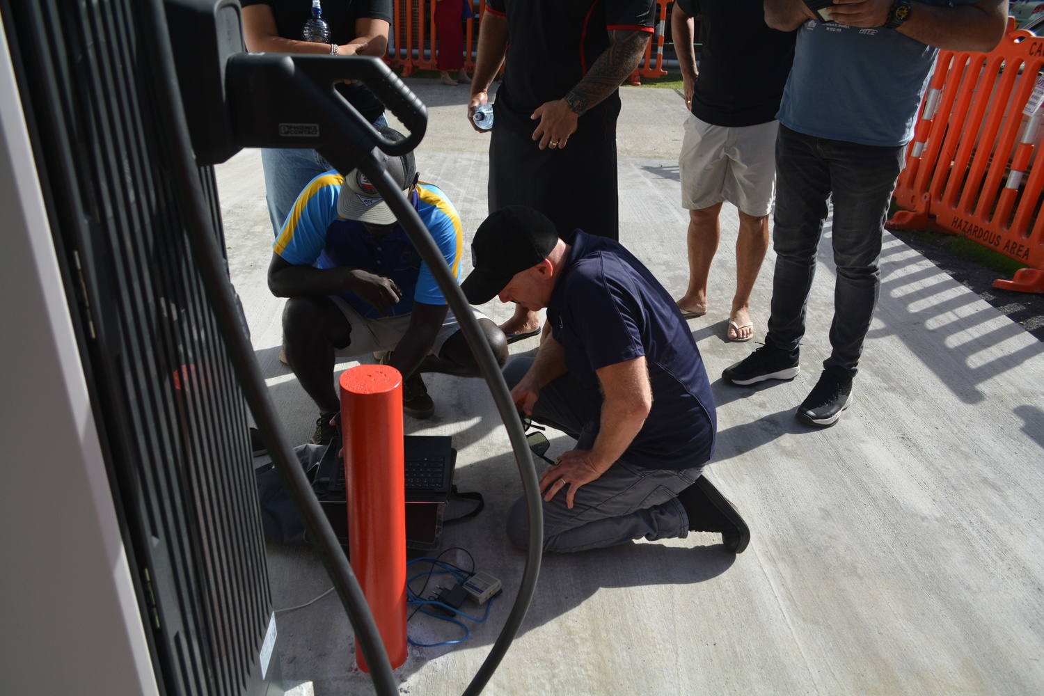
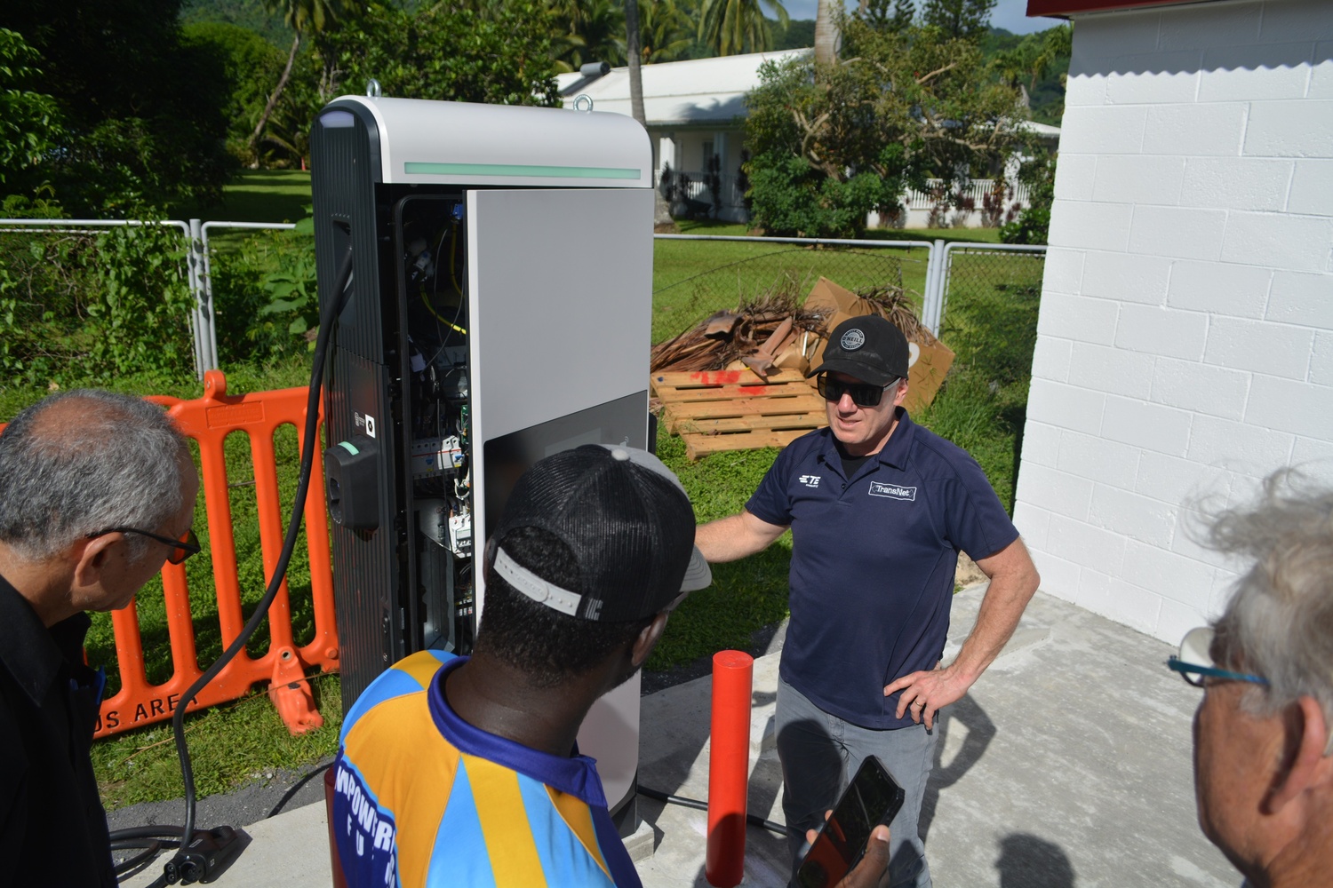
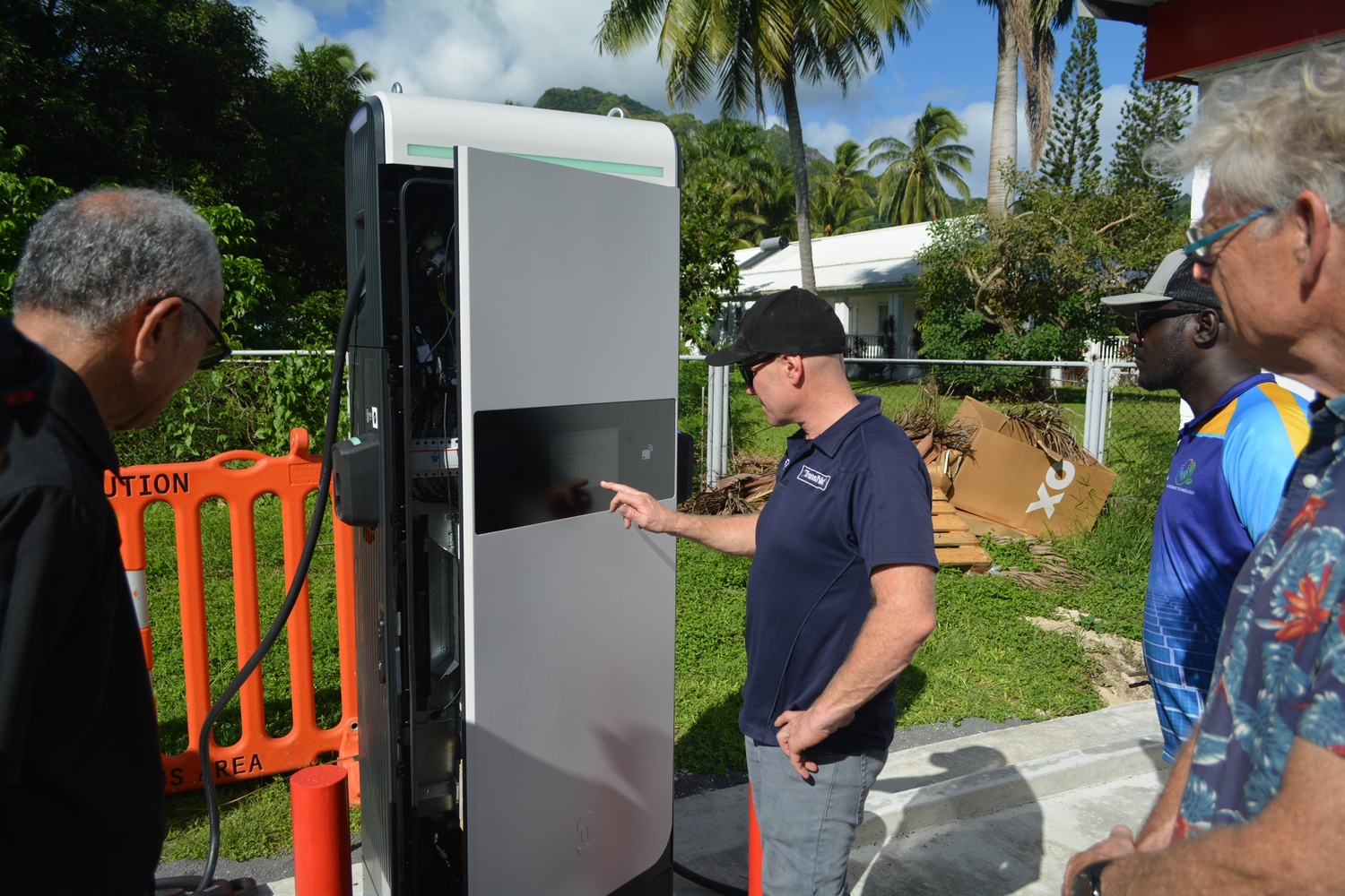
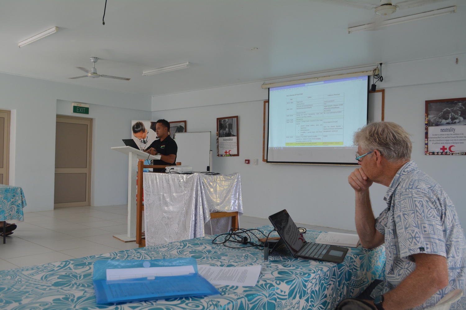
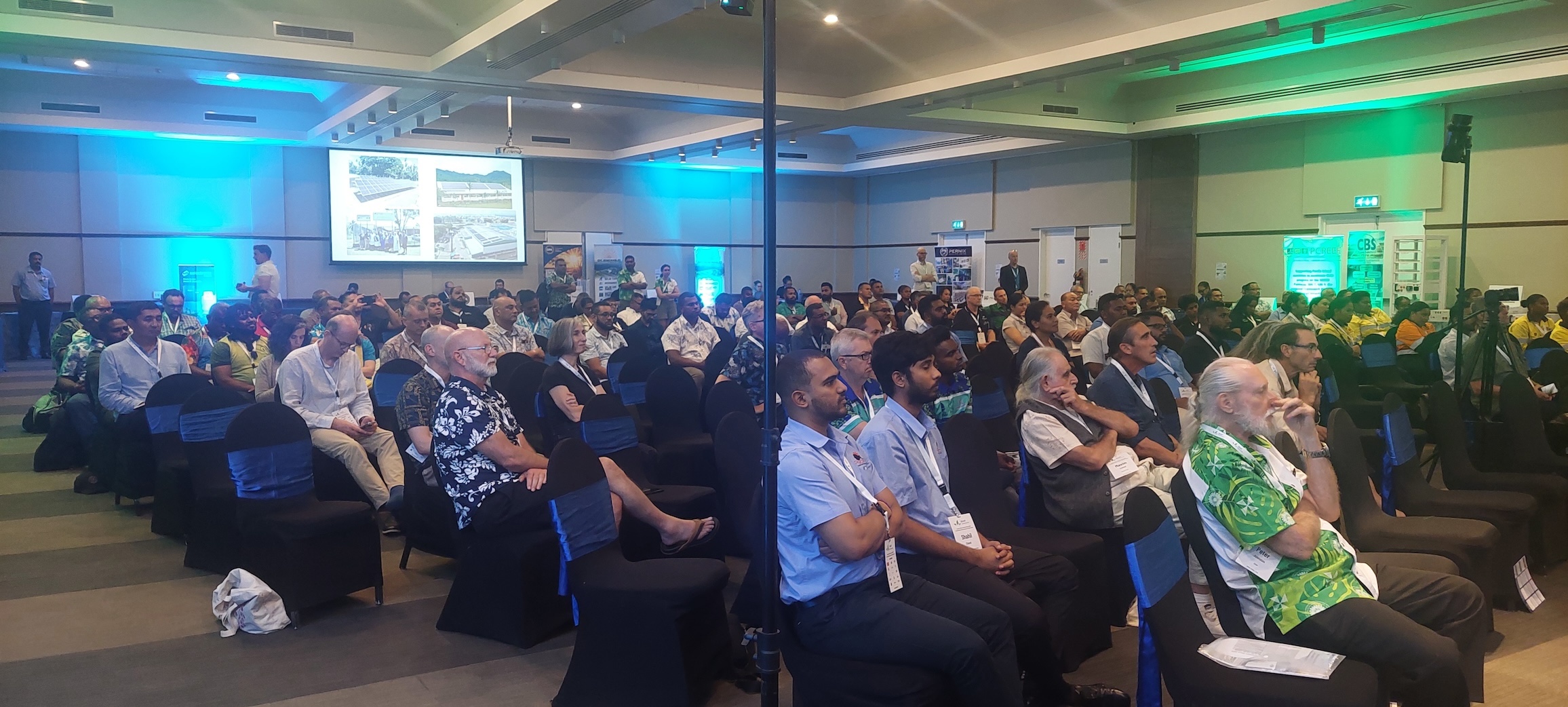
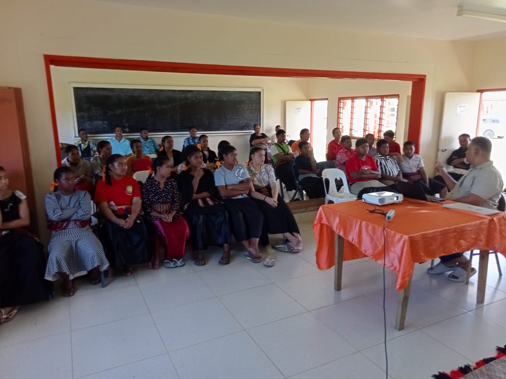
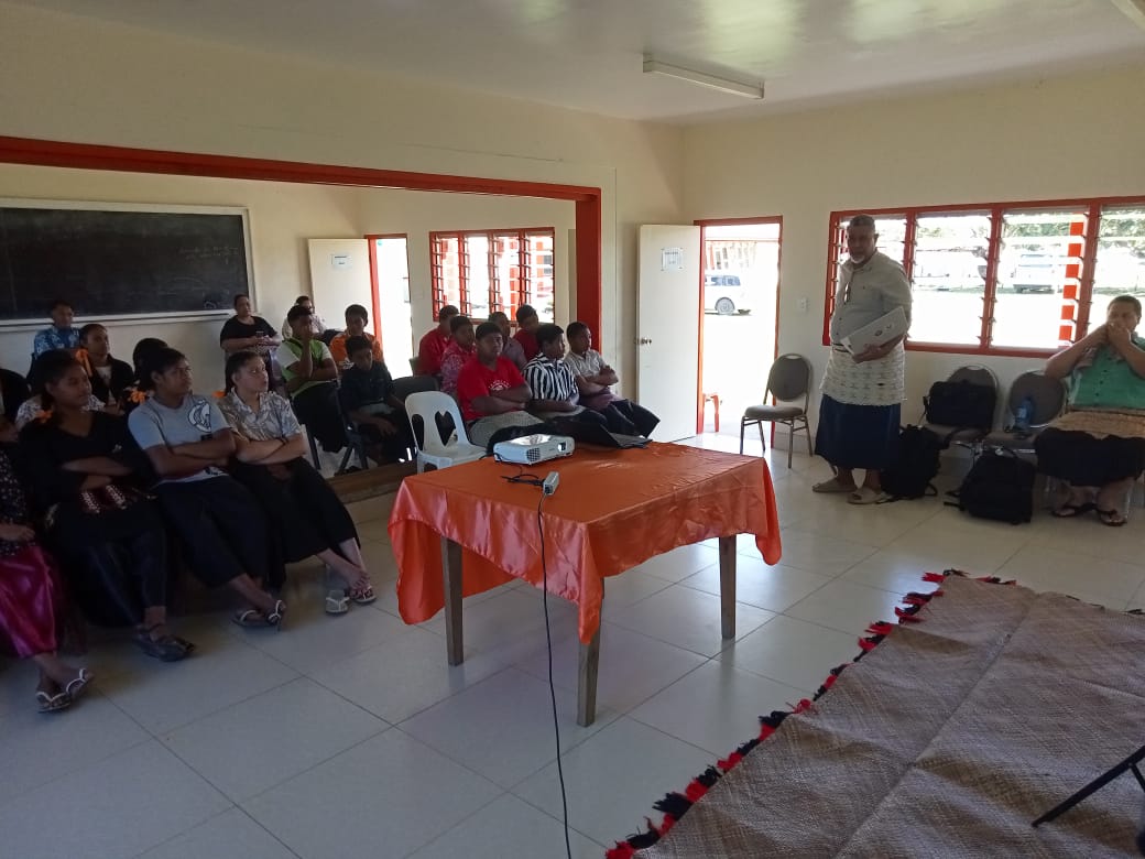
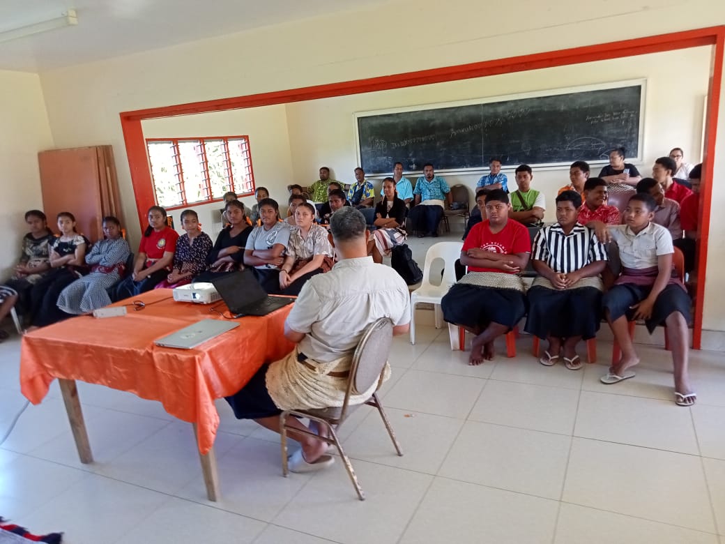
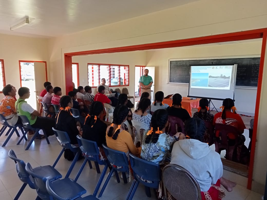
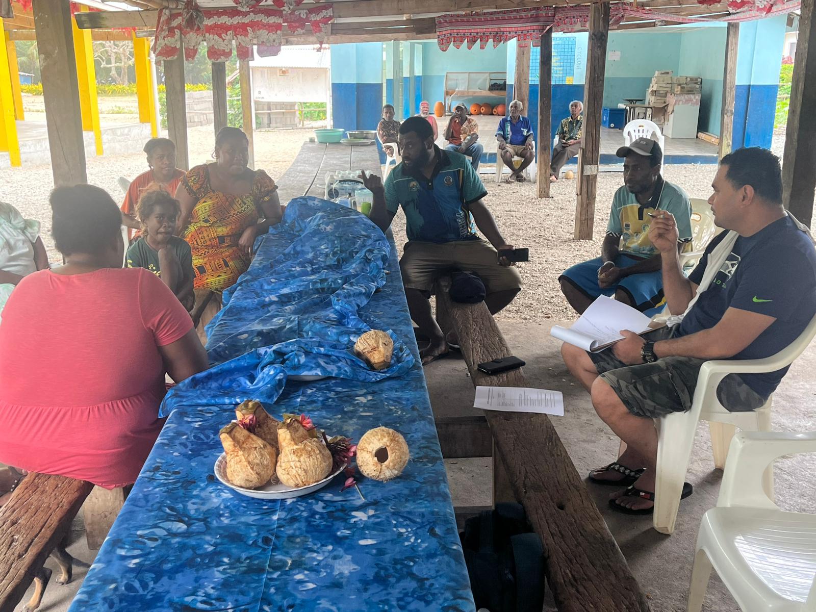
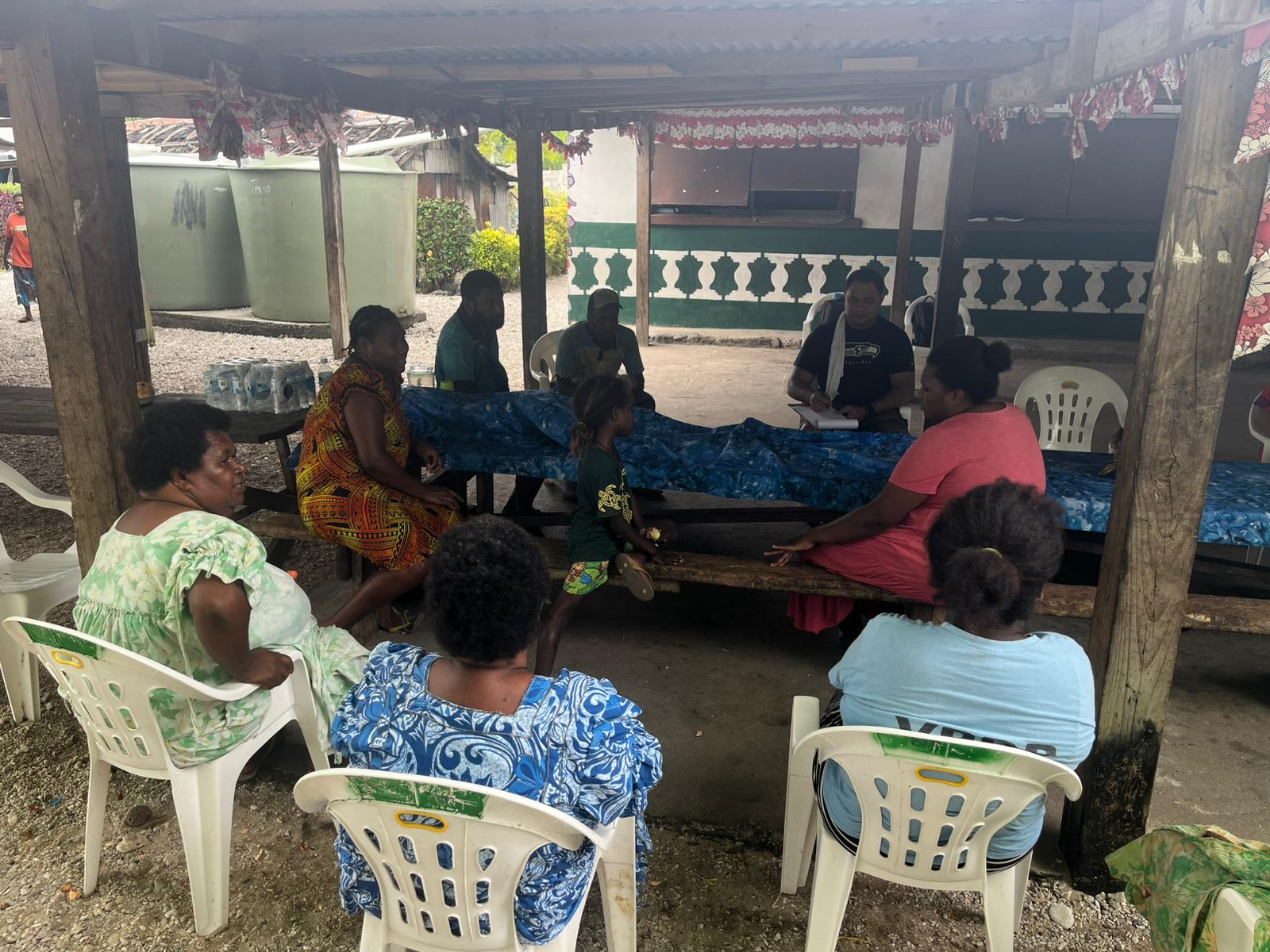
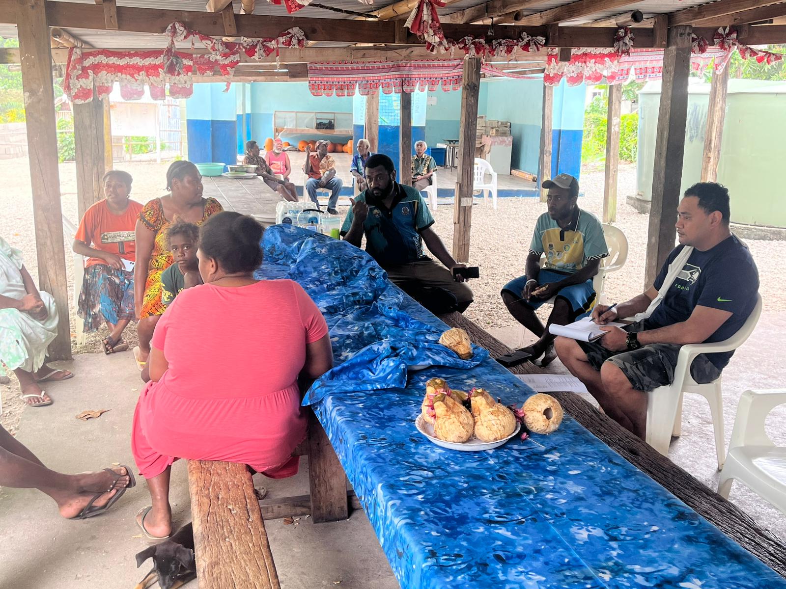
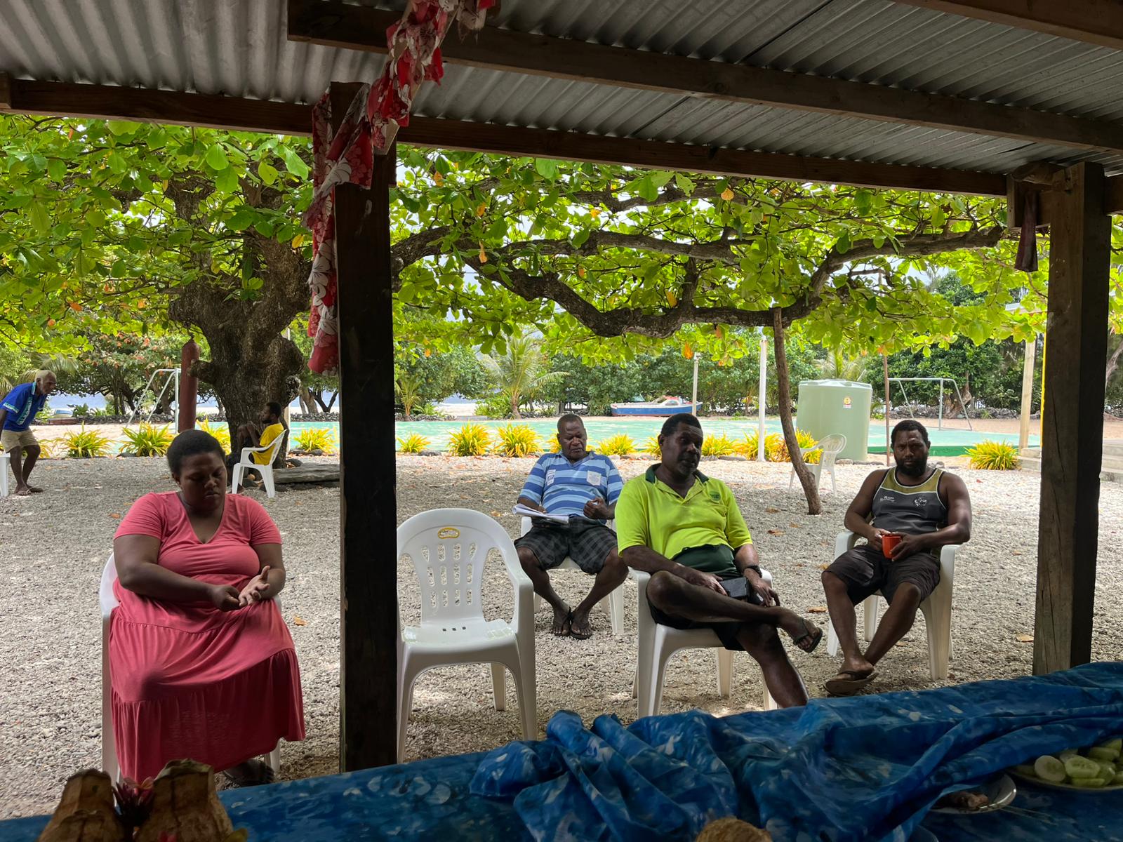
Images Galleries


Pages
PCREEE newsletter
Stay informed on our latest news!